


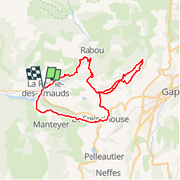


9.6 km | 15.6 km-effort

Les Hautes Alpes à découvrir ! GUIDE+


FREE GPS app for hiking
 SityTrail
IGN / Geographical institutes
SityTrail World
The world is yours!
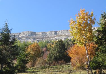
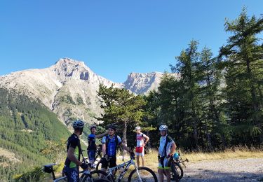
Trail Mountain bike of 30 km to be discovered at Provence-Alpes-Côte d'Azur, Hautes-Alpes, La Roche-des-Arnauds. This trail is proposed by Camping Les Rives du Lac.
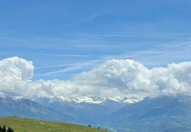
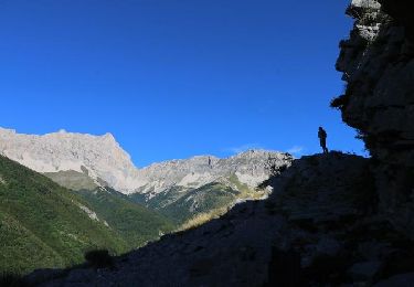
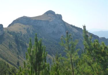
From La Roche des Arnauds (or the Domaine de Charance), follow route 4 of the "Gapençais Valleys". Very nice view of the Gap Valley, pleasant route along the Drac canal.


Walking

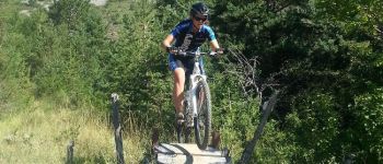
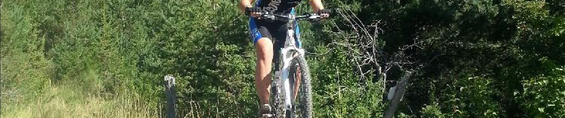
Mountain bike
Mountain bike
On foot
Running
Mountain bike

Mountain bike
Mountain bike
Mountain bike